[{"id":214966567070,"handle":"0-vat","updated_at":"2026-06-09T14:02:46+01:00","published_at":"2020-08-18T21:40:34+01:00","sort_order":"best-selling","template_suffix":"","published_scope":"global","title":"0% VAT","body_html":""},{"id":387209658597,"handle":"all","title":"All","updated_at":"2026-06-09T16:26:24+01:00","body_html":null,"published_at":"2021-12-03T11:16:20+00:00","sort_order":"alpha-asc","template_suffix":null,"disjunctive":false,"rules":[{"column":"variant_inventory","relation":"greater_than","condition":"-10000"}],"published_scope":"web"},{"id":236915261598,"handle":"all-products-minus-clearance","title":"ALL PRODUCTS MINUS CLEARANCE","updated_at":"2026-06-09T16:26:24+01:00","body_html":"","published_at":"2021-01-26T17:11:14+00:00","sort_order":"best-selling","template_suffix":"","disjunctive":false,"rules":[{"column":"type","relation":"not_equals","condition":"Clearance"},{"column":"type","relation":"not_equals","condition":"Gift Card"}],"published_scope":"global"},{"id":224335757470,"handle":"best-selling-collection","title":"Best selling products","updated_at":"2026-06-09T16:26:23+01:00","body_html":null,"published_at":"2020-09-30T12:55:42+01:00","sort_order":"best-selling","template_suffix":null,"disjunctive":false,"rules":[{"column":"variant_price","relation":"greater_than","condition":"0"}],"published_scope":"web"},{"id":263618625694,"handle":"best-selling-products","title":"Best Selling Products","updated_at":"2026-06-09T16:26:24+01:00","body_html":null,"published_at":"2021-04-03T12:03:11+01:00","sort_order":"best-selling","template_suffix":null,"disjunctive":true,"rules":[{"column":"title","relation":"contains","condition":"Best Selling"},{"column":"title","relation":"not_contains","condition":"Best Selling"}],"published_scope":"web"},{"id":200883241118,"handle":"books-charts-and-navigation-instruments","title":"Books, Charts and Navigation","updated_at":"2026-06-09T14:02:46+01:00","body_html":"","published_at":"2020-06-12T12:02:42+01:00","sort_order":"best-selling","template_suffix":"","disjunctive":false,"rules":[{"column":"type","relation":"equals","condition":"Books, Charts and Navigation"},{"column":"type","relation":"not_equals","condition":"Chandlery and Hardware"},{"column":"type","relation":"not_equals","condition":"Clothing"},{"column":"type","relation":"not_equals","condition":"Gift Card"},{"column":"type","relation":"not_equals","condition":"Maintenance and Tools"},{"column":"type","relation":"not_equals","condition":"Mechanical and Electrical"},{"column":"type","relation":"not_equals","condition":"Personal Equipment, Bags and Gifts"},{"column":"type","relation":"not_equals","condition":"Review"},{"column":"type","relation":"not_equals","condition":"Rope and Rigging"},{"column":"type","relation":"not_equals","condition":"Safety, Flags and Electronics"}],"published_scope":"global"},{"id":682998563194,"handle":"chandlery-sale","title":"Chandlery Sale","updated_at":"2026-06-09T16:13:17+01:00","body_html":"","published_at":"2026-06-03T09:59:22+01:00","sort_order":"most-relevant","template_suffix":"","disjunctive":false,"rules":[{"column":"tag","relation":"not_equals","condition":"Clothing"},{"column":"vendor","relation":"not_equals","condition":"Arthur Beale"},{"column":"tag","relation":"not_equals","condition":"Gift Voucher"},{"column":"tag","relation":"not_equals","condition":"Sailing Shoes"},{"column":"tag","relation":"not_equals","condition":"Harbour Jackets and Coats"},{"column":"tag","relation":"not_equals","condition":"Sailing Jackets"},{"column":"tag","relation":"not_equals","condition":"Pullovers"},{"column":"tag","relation":"not_equals","condition":"Shorts"},{"column":"tag","relation":"not_equals","condition":"Harbour Trousers"},{"column":"tag","relation":"not_equals","condition":"Sailing Trousers and Salopettes"},{"column":"tag","relation":"not_equals","condition":"Breton Tops and Tee Shirts"},{"column":"tag","relation":"not_equals","condition":"Sailing Smocks"},{"column":"tag","relation":"not_equals","condition":"Bags"},{"column":"tag","relation":"not_equals","condition":"Hats"},{"column":"tag","relation":"not_equals","condition":"Socks"},{"column":"tag","relation":"not_equals","condition":"Polo shirt"},{"column":"tag","relation":"not_equals","condition":"Shorts"},{"column":"vendor","relation":"not_equals","condition":"Guy Cotten"},{"column":"tag","relation":"not_equals","condition":"Mitts"},{"column":"tag","relation":"not_equals","condition":"Winter Gloves"},{"column":"vendor","relation":"not_equals","condition":"Sebago"},{"column":"vendor","relation":"not_equals","condition":"Saint James"},{"column":"vendor","relation":"not_equals","condition":"Mousqueton"},{"column":"title","relation":"not_contains","condition":"Arthur Beale"},{"column":"vendor","relation":"not_equals","condition":"Gill"},{"column":"vendor","relation":"not_equals","condition":"Devold"},{"column":"vendor","relation":"not_equals","condition":"Tilley"},{"column":"tag","relation":"not_equals","condition":"Sunglasses"},{"column":"vendor","relation":"not_equals","condition":"Michel Beaudouin"}],"published_scope":"global"},{"id":427825889509,"handle":"expedition-gear","title":"Expedition Gear","updated_at":"2026-06-09T12:24:22+01:00","body_html":"","published_at":"2024-05-23T18:39:28+01:00","sort_order":"best-selling","template_suffix":"","disjunctive":true,"rules":[{"column":"tag","relation":"equals","condition":"Knives"},{"column":"tag","relation":"equals","condition":"Bags"},{"column":"tag","relation":"equals","condition":"Torches and Whistles"},{"column":"tag","relation":"equals","condition":"Navigation"},{"column":"tag","relation":"equals","condition":"Navigation Equipment"},{"column":"tag","relation":"equals","condition":"Tapes and Repair Kits"},{"column":"tag","relation":"equals","condition":"Lifejackets - Buoyancy Aids And Survival Suits"},{"column":"tag","relation":"equals","condition":"Lifejackets"},{"column":"tag","relation":"equals","condition":"Badges and Branding"},{"column":"tag","relation":"equals","condition":"Socks"},{"column":"tag","relation":"equals","condition":"Boot socks"},{"column":"tag","relation":"equals","condition":"Beanie"},{"column":"tag","relation":"equals","condition":"Brand_Guy Cotten"},{"column":"tag","relation":"equals","condition":"Brand_Gill"},{"column":"tag","relation":"equals","condition":"Brand_Devold"}],"published_scope":"global"},{"id":230880805022,"handle":"navigation-regulations-and-safety","title":"Navigation Regulations and Safety","updated_at":"2026-06-02T01:18:27+01:00","body_html":"","published_at":"2020-11-23T13:24:59+00:00","sort_order":"best-selling","template_suffix":"","disjunctive":true,"rules":[{"column":"tag","relation":"equals","condition":"Navigation"},{"column":"tag","relation":"equals","condition":"First Aid"},{"column":"tag","relation":"equals","condition":"Rules and Regulations"},{"column":"tag","relation":"equals","condition":"Reference"}],"published_scope":"global"},{"id":224335724702,"handle":"new-collection","title":"New products","updated_at":"2026-06-09T16:26:23+01:00","body_html":"","published_at":"2020-09-30T12:55:42+01:00","sort_order":"created-desc","template_suffix":"minimal","disjunctive":false,"rules":[{"column":"variant_price","relation":"greater_than","condition":"0"},{"column":"type","relation":"not_equals","condition":"Clearance"}],"published_scope":"web"},{"id":263618658462,"handle":"newest-products","title":"Newest Products","updated_at":"2026-06-09T16:26:24+01:00","body_html":null,"published_at":"2021-04-03T12:03:13+01:00","sort_order":"created-desc","template_suffix":null,"disjunctive":true,"rules":[{"column":"title","relation":"contains","condition":"Newest"},{"column":"title","relation":"not_contains","condition":"Newest"}],"published_scope":"web"},{"id":200883634334,"handle":"practical-books","title":"Practical Books","updated_at":"2026-06-09T12:24:22+01:00","body_html":"","published_at":"2020-06-12T12:02:42+01:00","sort_order":"best-selling","template_suffix":"","disjunctive":true,"rules":[{"column":"tag","relation":"equals","condition":"Practical Books"},{"column":"tag","relation":"equals","condition":"Knots and Ropework"},{"column":"tag","relation":"equals","condition":"Knots and Ropework Books"},{"column":"tag","relation":"equals","condition":"Boatbuilding and Maintenance"},{"column":"tag","relation":"equals","condition":"Navigation"},{"column":"tag","relation":"equals","condition":"Seamanship"},{"column":"tag","relation":"equals","condition":"RYA Publications"},{"column":"tag","relation":"equals","condition":"Logbooks"},{"column":"tag","relation":"equals","condition":"Sketchbooks"},{"column":"tag","relation":"equals","condition":"Weather"},{"column":"tag","relation":"equals","condition":"Nature"},{"column":"tag","relation":"equals","condition":"Cooking"},{"column":"tag","relation":"equals","condition":"Flip Cards and Companionway Books"},{"column":"tag","relation":"equals","condition":"Water Sports"}],"published_scope":"global","image":{"created_at":"2020-12-10T10:03:47+00:00","alt":null,"width":2048,"height":2048,"src":"\/\/arthurbeale.co.uk\/cdn\/shop\/collections\/The_Complete_Day_Skipper_-_Tom_Cunliffe.jpg?v=1607594628"}}]
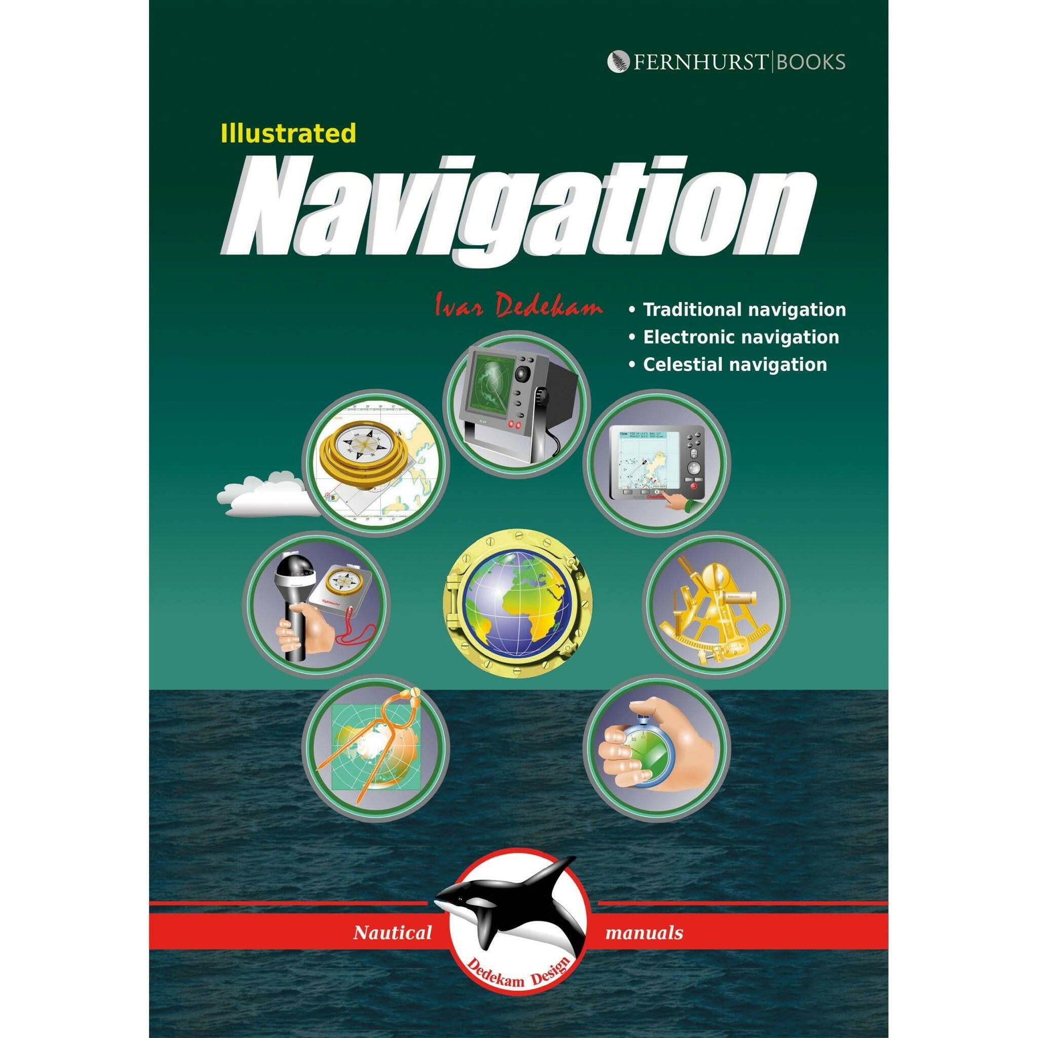
A beautifully, uniquely illustrated nautical guide to traditional, electronic & celestial navigation.
By: Ivar Dedekam
Today, yachts are often equipped with radar, GPS, chart plotters, AIS, etc. This equipment has also become much more reliable, making it possible to make long offshore passages without a great knowledge of navigation. However, such equipment can be set up wrongly, interpreted incorrectly, malfunction or lose power. In these circumstances, knowledge of traditional navigation can become extremely important.
This beautifully illustrated manual teaches you to navigate in the traditional way - using compass, log and plotter; by means of electronic aids - like GPS, radar and chartplotter; and some basic celestial navigation - using the sun and stars to obtain your position using sextant, almanacs, tables and a watch. Within the book short, concentrated pieces of text are brought to life by numerous diagrams and graphics - making this an easy and memorable read.
We are one of the United Kingdoms oldest chandlers, tracing our history back 500 years. We have supplied all sorts of exciting expeditions in our long history, including early Everest and Arctic Expeditions for Ernest Shackleton, Gino Watkins and many more.
We pride ourselves on our passion and dedication for high quality kit for every adventure.