


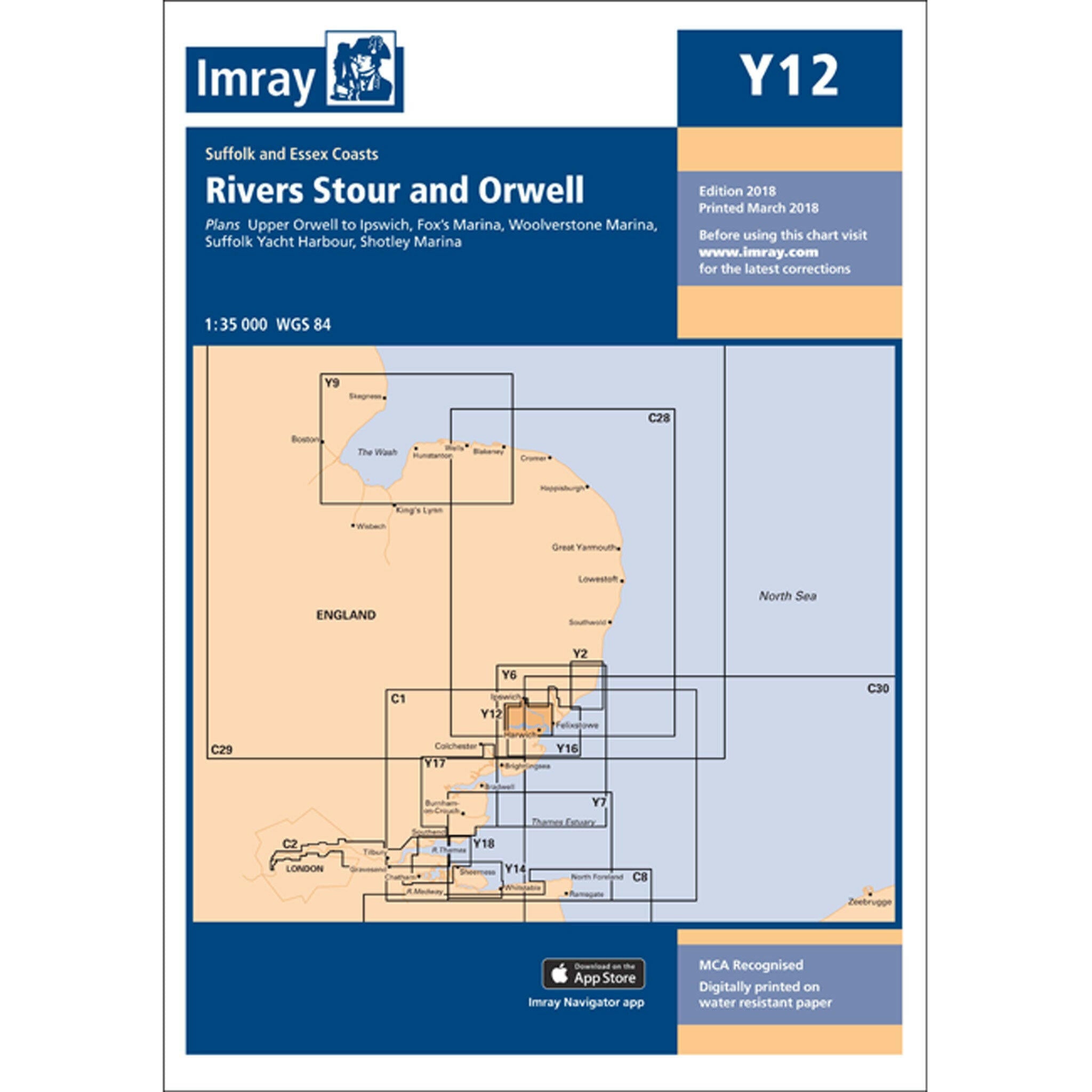
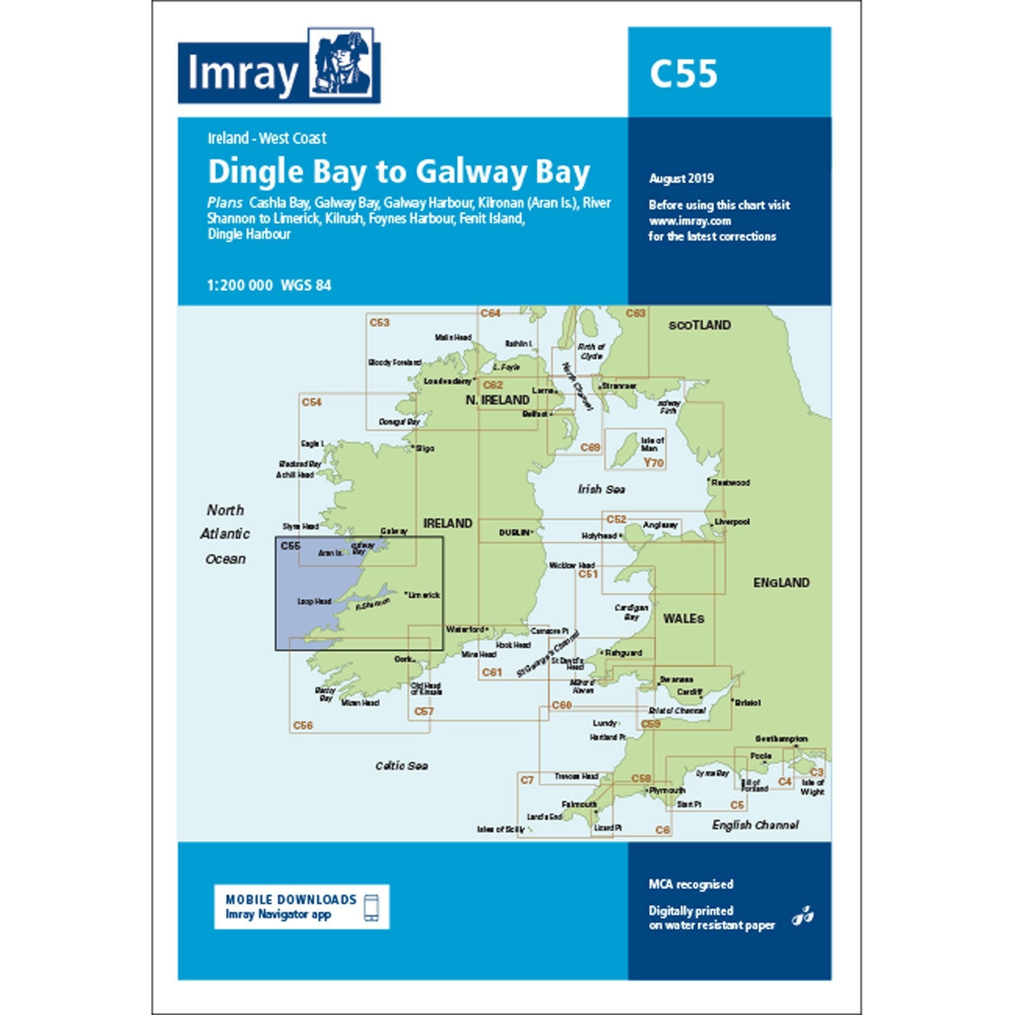
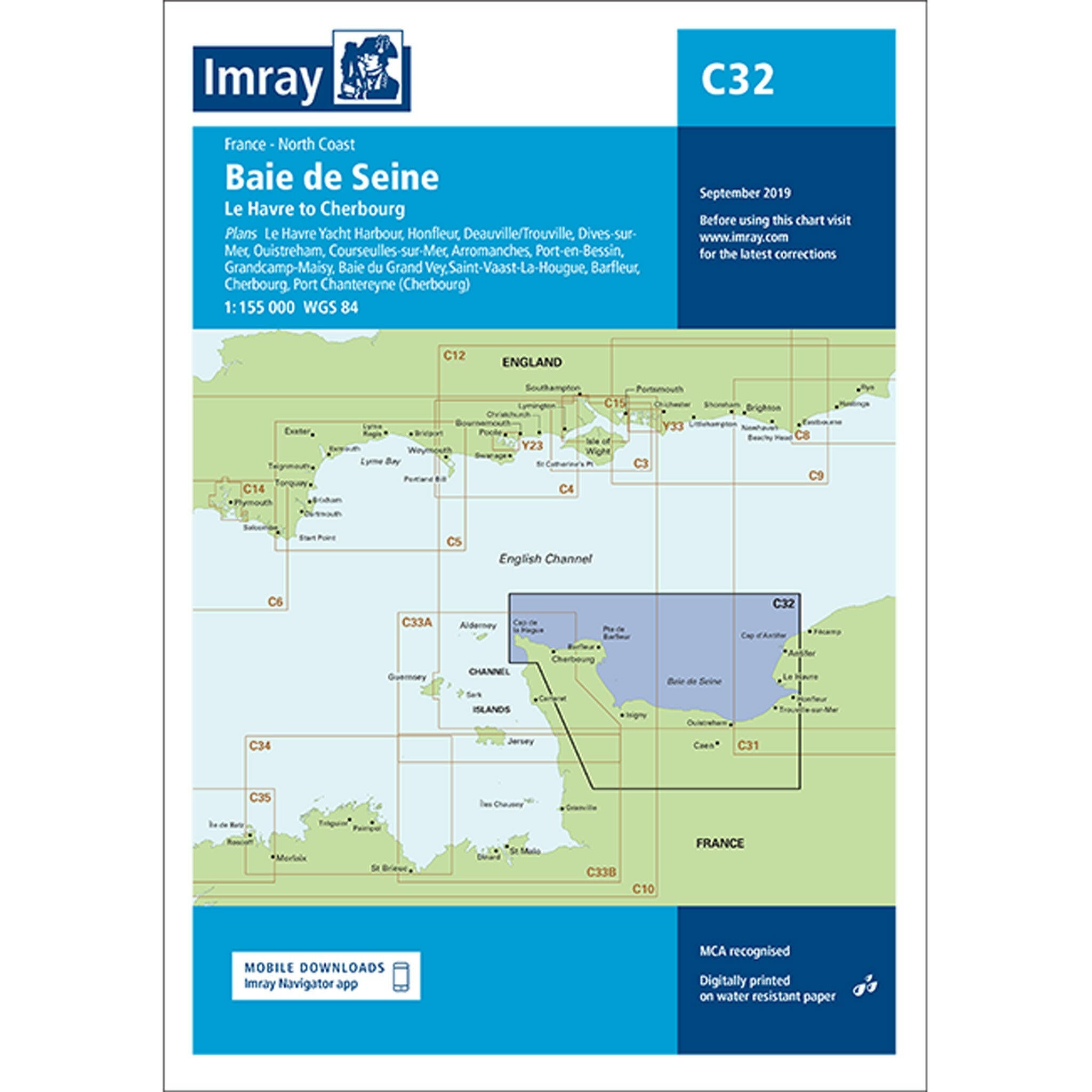
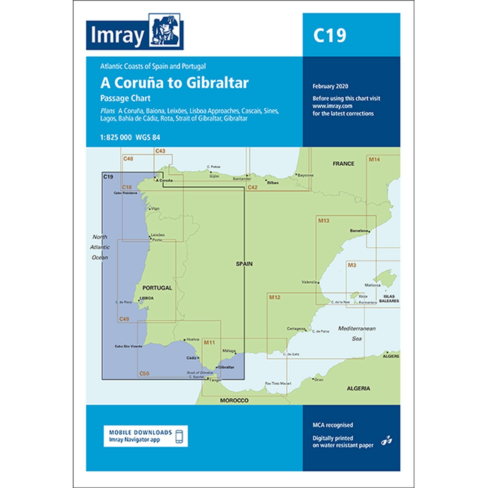
Charts
for every adventure
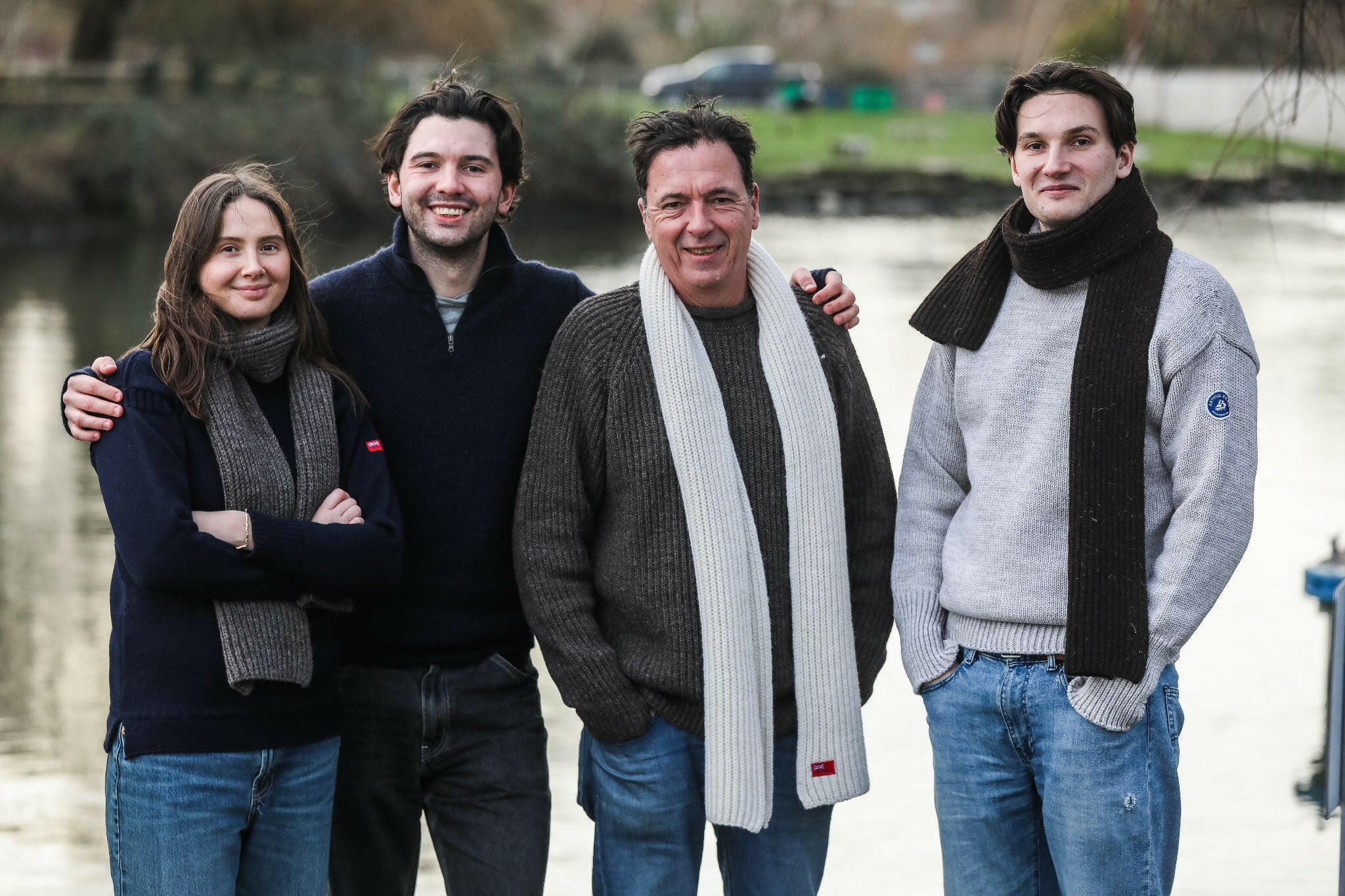
suppliers to seafarers, wayfarers, vagabonds & explorers for over 500 years
Filters

WHY ARTHUR BEALE?
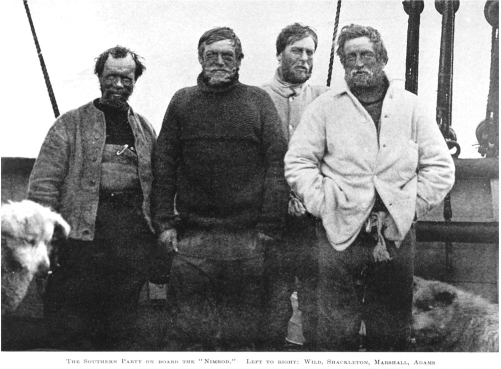
Rich Heritage
With a history spanning over five centuries, Arthur Beale is steeped in tradition and expertise. Our craftsmanship and dedication to quality have been trusted by legendary explorers, from early Everest attempts to Polar expeditions led by icons like Sir Ernest Shackleton.
Read more about our history
Sustainability
At Arthur Beale, we hold a deep appreciation for traditional manufacturing techniques and a commitment to sustainability using natural materials. Embracing our heritage, we prioritize craftsmanship and quality, ensuring our products are made to last. By adhering to traditional methods, we honor the legacy of generations past while also minimizing our environmental impact. Our use of natural materials reflects our dedication to sustainability and responsible stewardship of the Earth's resources. Through these practices, we not only preserve traditional craftsmanship but also contribute to a more sustainable future for generations to come.
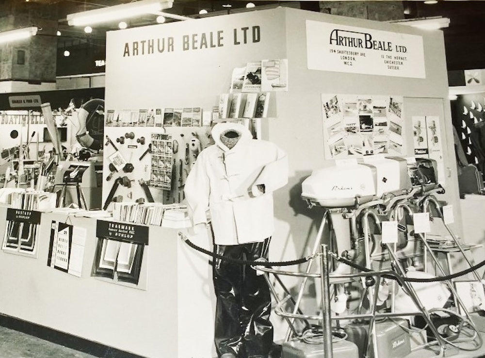
Small Independent Company
By choosing Arthur Beale, you're supporting a rare independent company that's dedicated to preserving its heritage and continuing its legacy for generations to come.
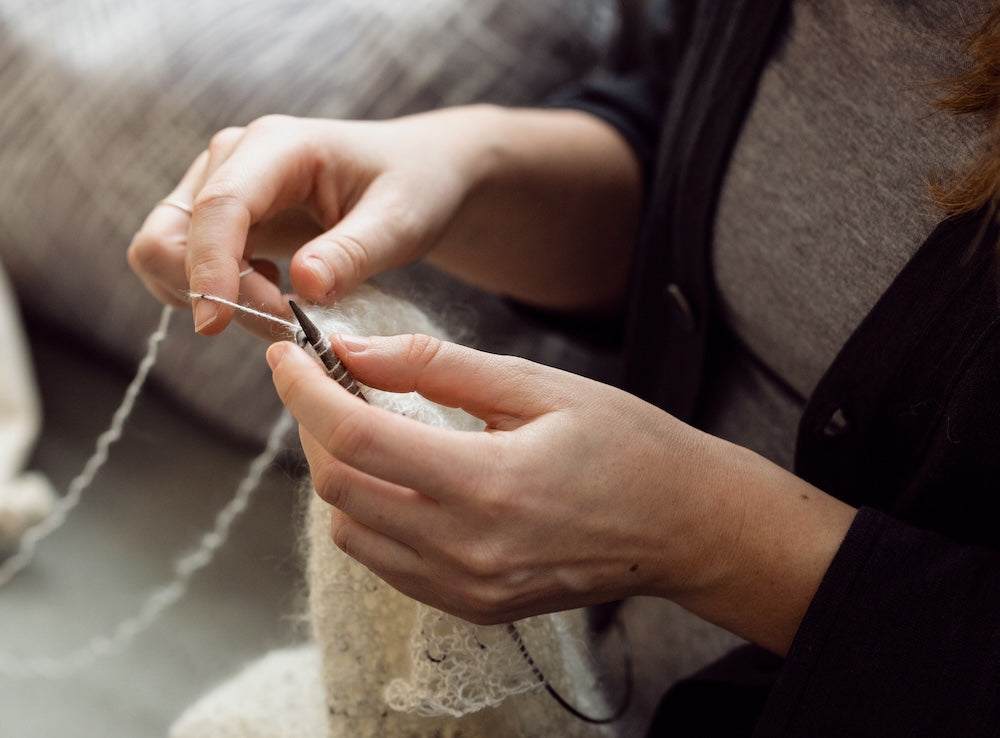
Quality
We believe in investing in high-quality, durable products that are built to last. By choosing well-made items that stand the test of time, we reduce the need for frequent replacements and minimize our environmental footprint.
About Arthur Beale
We are one of the United Kingdoms oldest chandlers, tracing our history back 500 years. We have supplied all sorts of exciting expeditions in our long history, including early Everest and Arctic Expeditions for Ernest Shackleton, Gino Watkins and many more.
We pride ourselves on our passion and dedication for high quality kit for every adventure.