Filters

Europe

38 products

Showing 1 - 38 of 38 products

Showing 1 - 38 of 38 products
View
Imray Chart C33A Channel Islands (North) Scale 1:120 000 WGS84Imray Chart C33A Channel Islands (North) Scale 1:120 000 WGS84
Imray M26 Split to Dubrovnik
Sale price£23.95 GBP
Imray M26 Split to Dubrovnik
Imray Sold out
Imray Chart E2 Canary Isles Scale 1:600 000 WGS84Imray Chart E2 Canary Isles Scale 1:600 000 WGS84
Sale price£22.95 GBP
Imray Chart E2 Canary Isles Scale 1:600 000 WGS84
Imray Only 2 units left
Imray Chart G2 - Aegean Sea (North)
Sale price£22.95 GBP
Imray Chart G2 - Aegean Sea (North)
Imray Sold out
Imray Chart C57 Tuskar Rock to Old Head of KinsaleImray Chart C57 Tuskar Rock to Old Head of Kinsale
Imray Chart C52 Cardigan Bay to Liverpool Scale 1:145 000 WGS84Imray Chart C52 Cardigan Bay to Liverpool Scale 1:145 000 WGS84
Imray Chart C30 Harwich to Hoek van Holland and Dover StraitImray Chart C30 Harwich to Hoek van Holland and Dover Strait
Imray Folio - North Brittany & Channel Islands
Imray Chart E1 Azores Archipeligo Scale 1:750 000 WGS84Imray Chart E1 Azores Archipeligo Scale 1:750 000 WGS84
Sale price£22.95 GBP
Imray Chart E1 Azores Archipeligo Scale 1:750 000 WGS84
Imray Only 1 unit left
NV Atlas Chart: NL4 Rijn & Maas Delta - Arthur Beale
Sale price£39.00 GBP
NV Atlas Chart: NL4 Rijn & Maas Delta
NV Charts Sold out
NV Atlas Chart: NL2 Waddenzee - Arthur Beale
Sale price£39.00 GBP
NV Atlas Chart: NL2 Waddenzee
NV Charts Sold out
NV Atlas Chart: NL1 Borkum to Ostend - Arthur Beale
Sale price£39.00 GBP
NV Atlas Chart: NL1 Borkum to Ostend
NV Charts Sold out
Imray Chart C58 Trevose Head to Bull Point Scale 1:130 000 WGS84Imray Chart C58 Trevose Head to Bull Point Scale 1:130 000 WGS84
Imray Chart C53 Donegal Bay to Rathlin Island Scale 1:200 000 WGS 84Imray Chart C53 Donegal Bay to Rathlin Island Scale 1:200 000 WGS 84
Imray Chart C51 Cardigan Bay
Sale price£25.95 GBP
Imray Chart C51 Cardigan Bay
Imray Only 1 unit left
Imray Chart C48 A Coruña to Porto Scale 1: 350 000 WGS84Imray Chart C48 A Coruña to Porto Scale 1: 350 000 WGS84
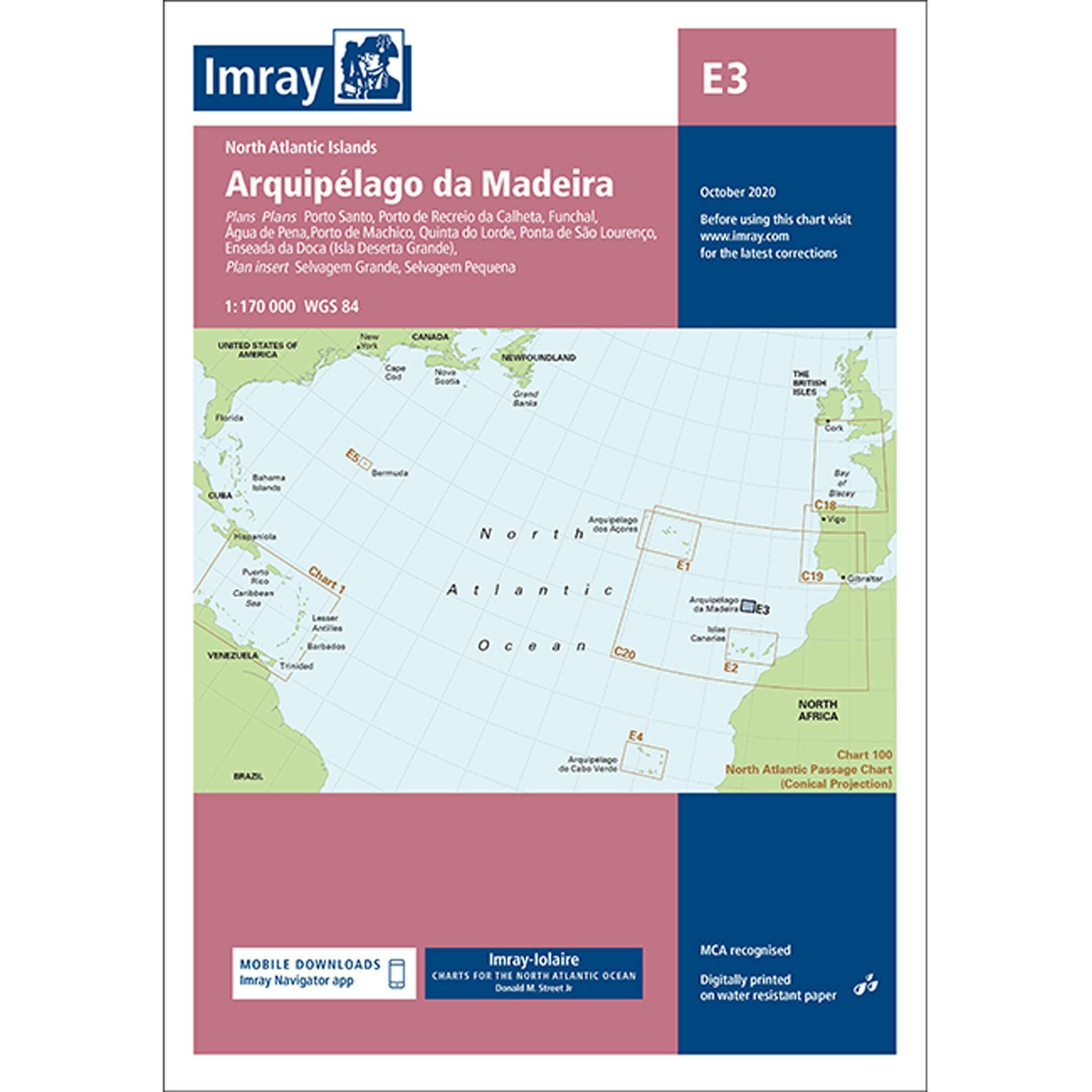
Imray Chart E3 Madeira Scale 1: 170 000 WGS84Imray Chart E3 Madeira Scale 1: 170 000 WGS84
Sale price£22.95 GBP
Imray Chart E3 Madeira Scale 1: 170 000 WGS84
Imray Only 1 unit left
Imray Chart G1 - Greece and PeloponissosImray Chart G1 - Greece and Peloponissos
Sale price£22.95 GBP
Imray Chart G1 - Greece and Peloponissos
Imray Sold out
Imray M24 Golfo di Trieste to Losinj & Rab
Sale price£17.95 GBP
Imray M24 Golfo di Trieste to Losinj & Rab
Imray Sold out
NV Atlas Chart: NL3 Ijsselmeer en Randmeren - Arthur Beale
Sale price£39.00 GBP
NV Atlas Chart: NL3 Ijsselmeer en Randmeren
NV Charts Only 2 units left
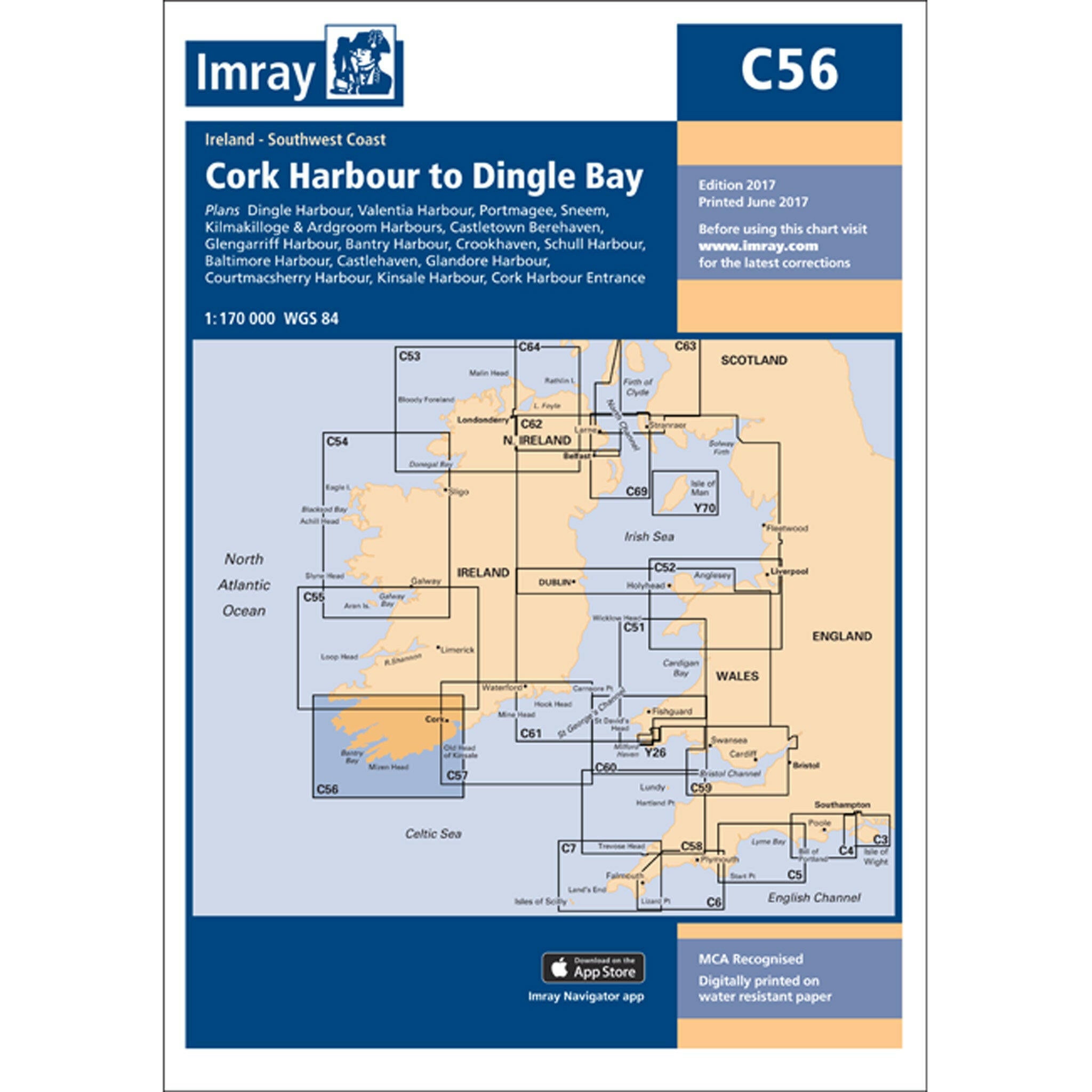
Imray Chart C56 Cork Harbour to Dingle Bay Scale 1:170 000 WGS84
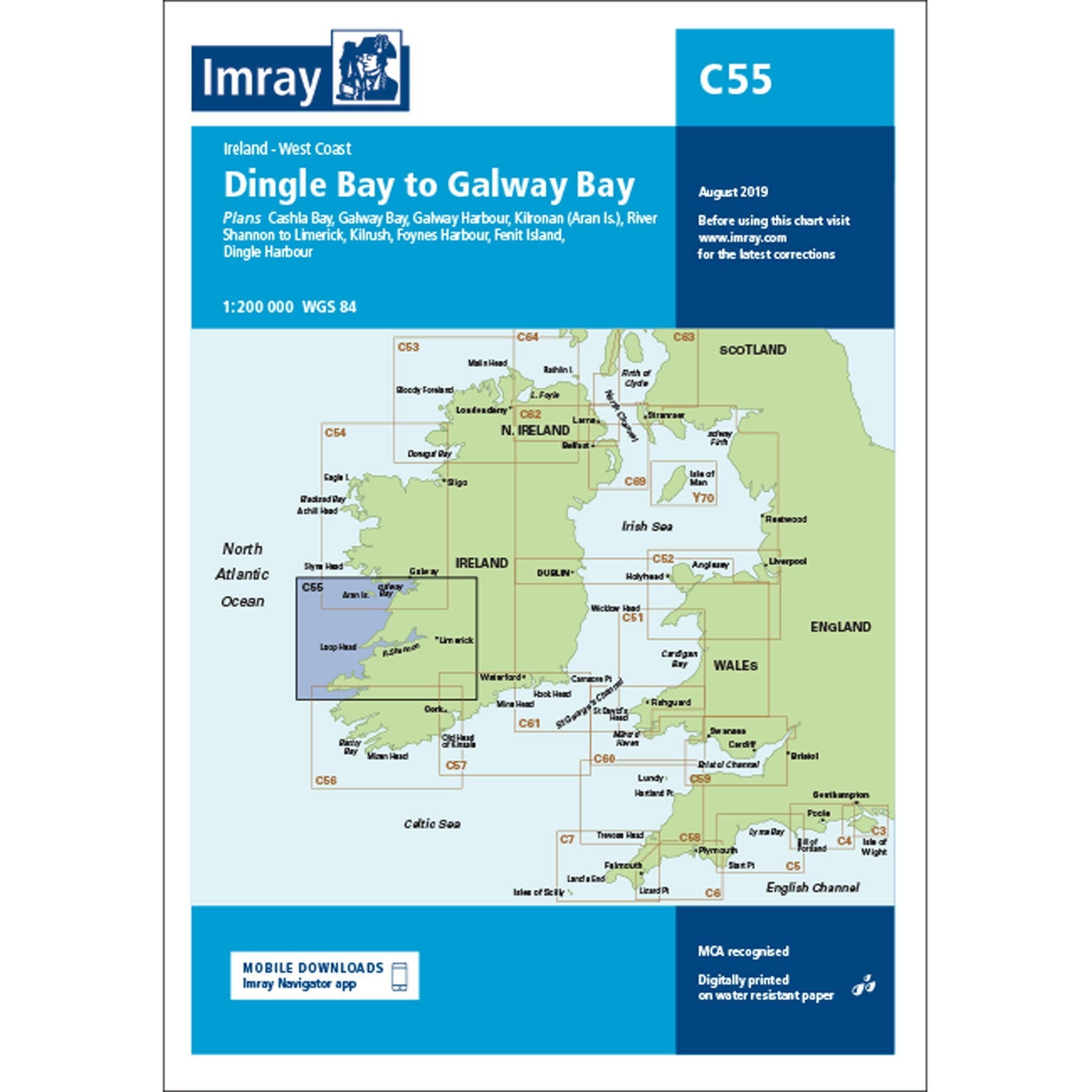
Imray Chart C55 Dingle Bay to Galway Bay Scale 1:200 000 (March 2021)Imray Chart C55 Dingle Bay to Galway Bay Scale 1:200 000 (March 2021)
Imray Chart C54 Galway Bay to Donegal Bay Scale 1:200 000 WGS84Imray Chart C54 Galway Bay to Donegal Bay Scale 1:200 000 WGS84
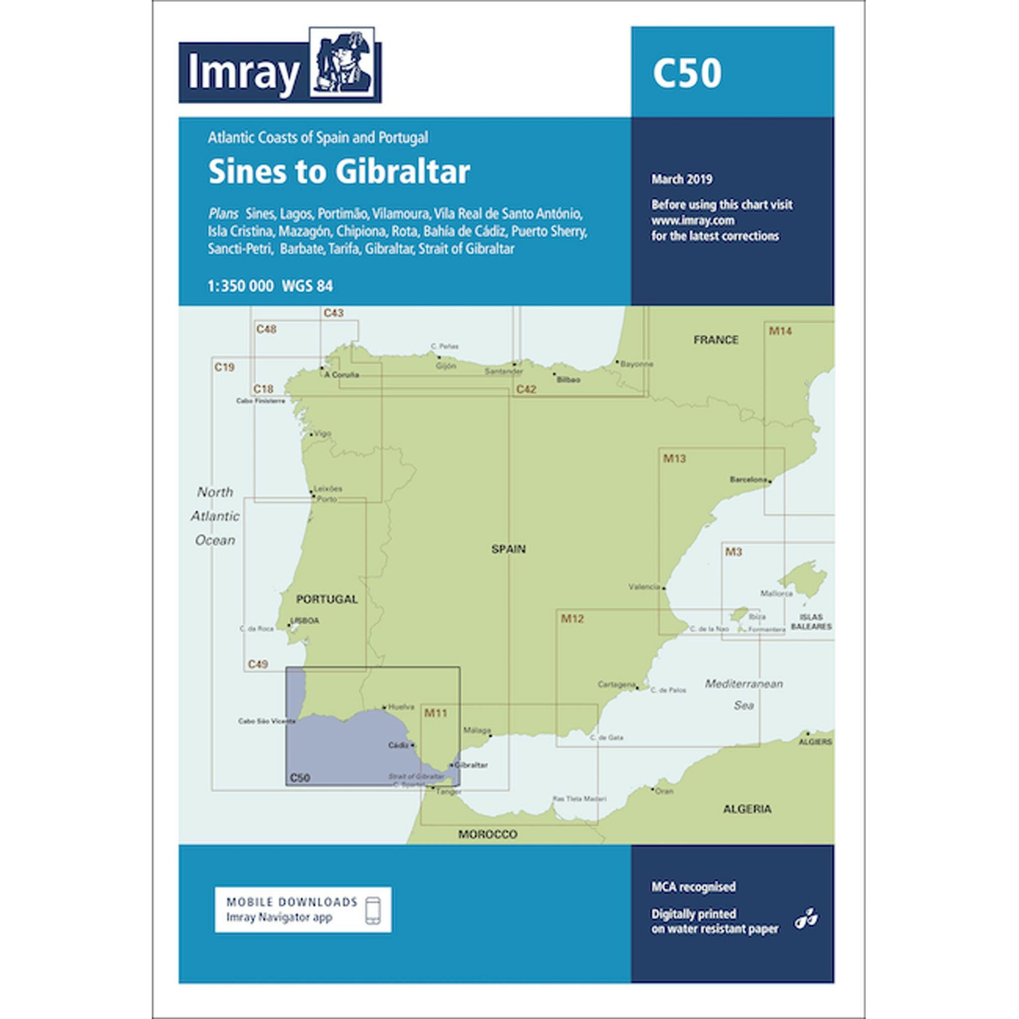
Imray Chart C50 Sines to Gibraltar Scale 1:350 000 WGS84Imray Chart C50 Sines to Gibraltar Scale 1:350 000 WGS84
Sale price£22.95 GBP
Imray Chart C50 Sines to Gibraltar Scale 1:350 000 WGS84
Imray Only 1 unit left
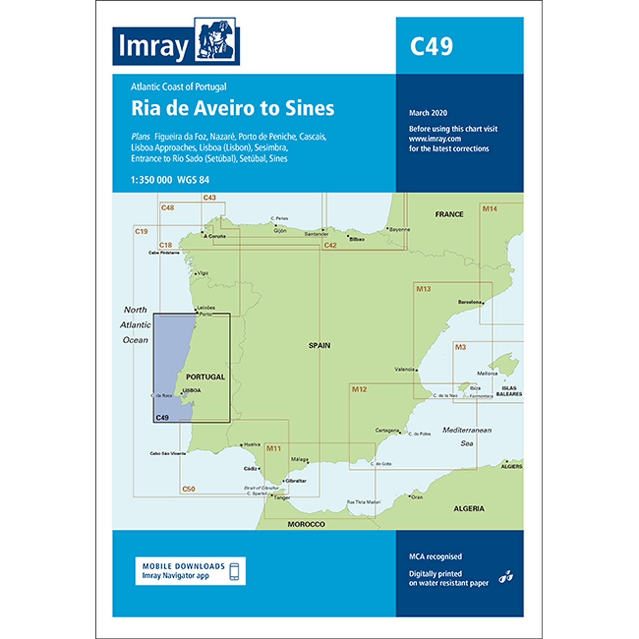
Imray Chart C49 Ria de Aveiro to Sines Scale 1:350 000 WGS84Imray Chart C49 Ria de Aveiro to Sines Scale 1:350 000 WGS84
Imray Chart C43 Santander to A Coruña Scale 1:350 000 WGS84Imray Chart C43 Santander to A Coruña Scale 1:350 000 WGS84
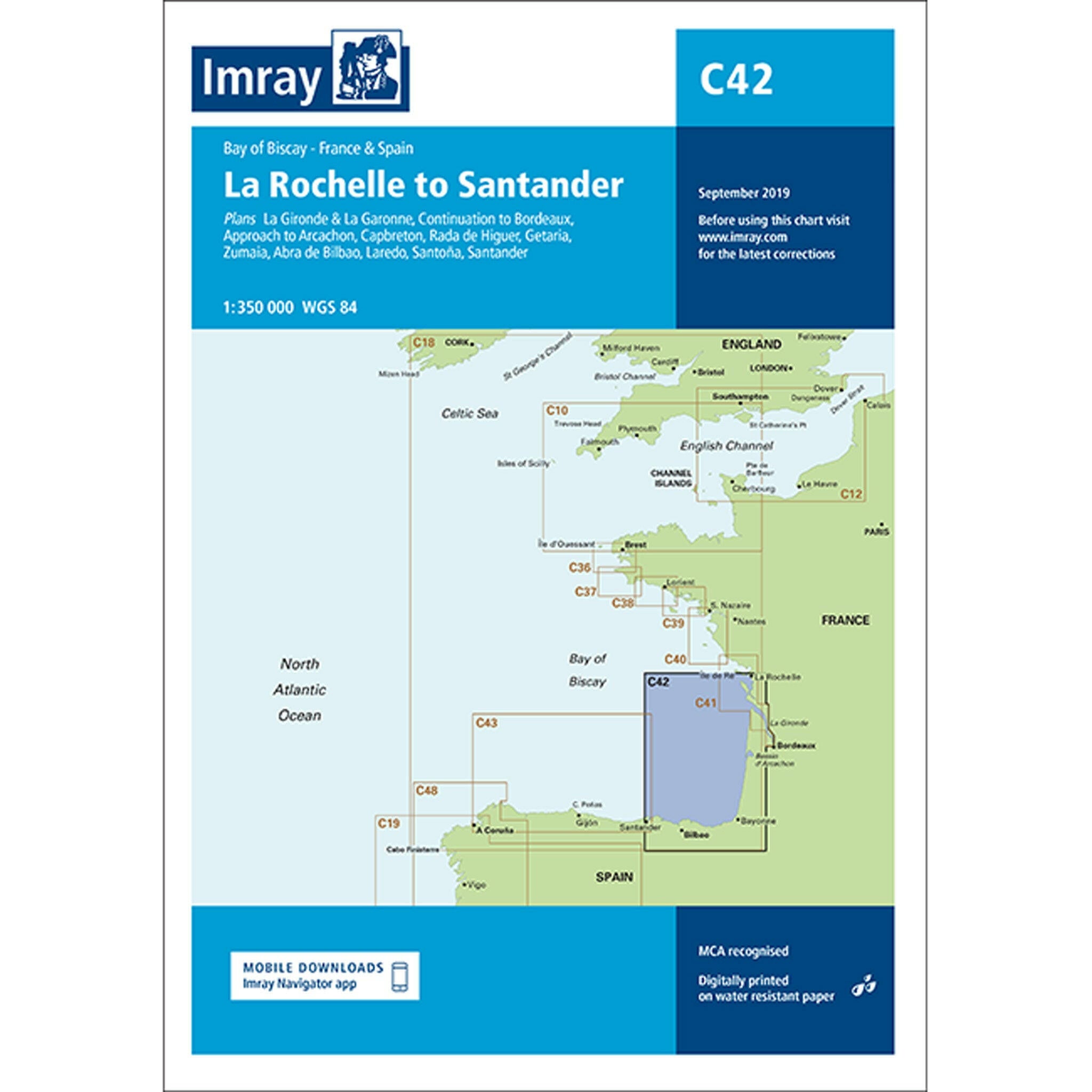
Imray Chart C42 La Rochelle to Santander Scale 1:350 000Imray Chart C42 La Rochelle to Santander Scale 1:350 000
Sale price£22.95 GBP
Imray Chart C42 La Rochelle to Santander Scale 1:350 000
Imray Only 1 unit left
Imray Chart C41 Les Sables d'Olonne to La GirondeImray Chart C41 Les Sables d'Olonne to La Gironde
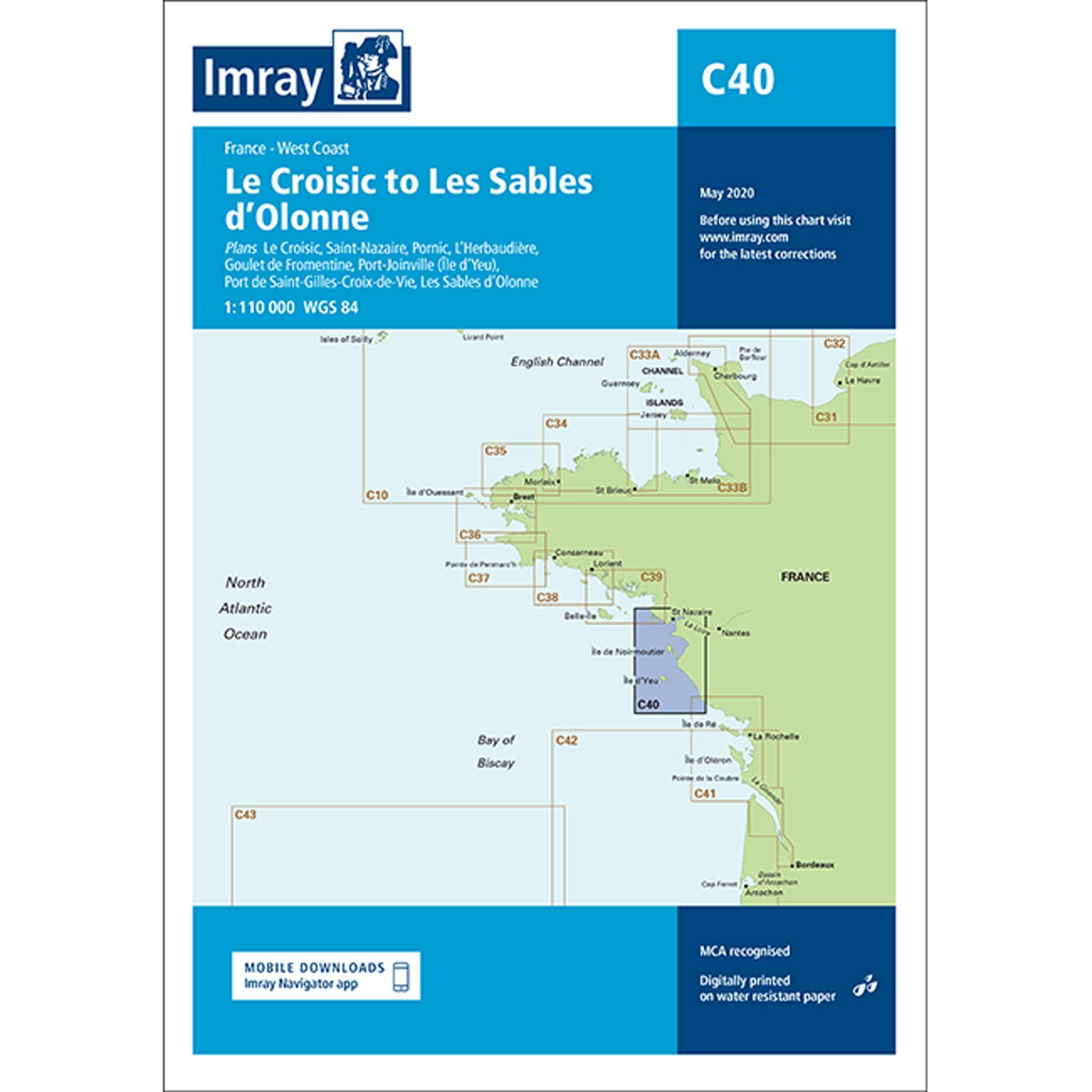
Imray Chart C40 Le Croisic to Les Sables d’Olonne Scale 1:110 000 WGS84Imray Chart C40 Le Croisic to Les Sables d’Olonne Scale 1:110 000 WGS84
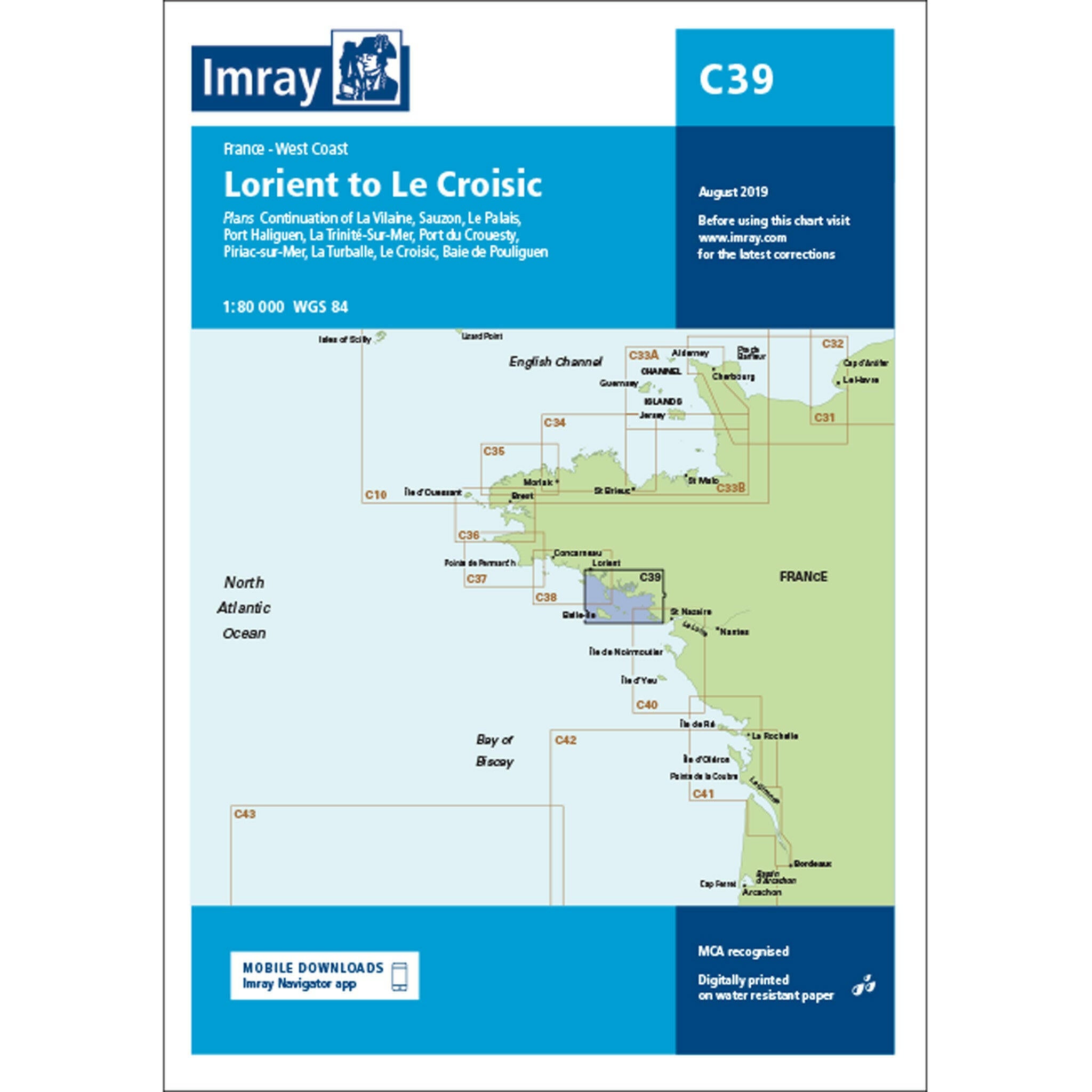
Imray Chart C39 Lorient to Le Croisic Scale 1:80 000 WGS84Imray Chart C39 Lorient to Le Croisic Scale 1:80 000 WGS84
Imray Chart C38 Anse de Bénodet to Presqu'île de QuiberonImray Chart C38 Anse de Bénodet to Presqu'île de Quiberon
Imray Chart C37 Raz de Sein to BenodetImray Chart C37 Raz de Sein to Benodet
Sale price£22.95 GBP
Imray Chart C37 Raz de Sein to Benodet
Imray Sold out
Imray Chart C36 Île d’Ouessant to Raz de Seine Scale 1:80 000 WGS84
Imray Chart C35 Baie de Morlaix to L'Aber-IldutImray Chart C35 Baie de Morlaix to L'Aber-Ildut
Imray Chart C34 Cap d'Erquy to Ile de Batz
Sale price£22.95 GBP
Imray Chart C34 Cap d'Erquy to Ile de Batz
Imray Sold out
Imray Chart C33B Channel Islands (South) Scale 1:120 000 WGS84Imray Chart C33B Channel Islands (South) Scale 1:120 000 WGS84
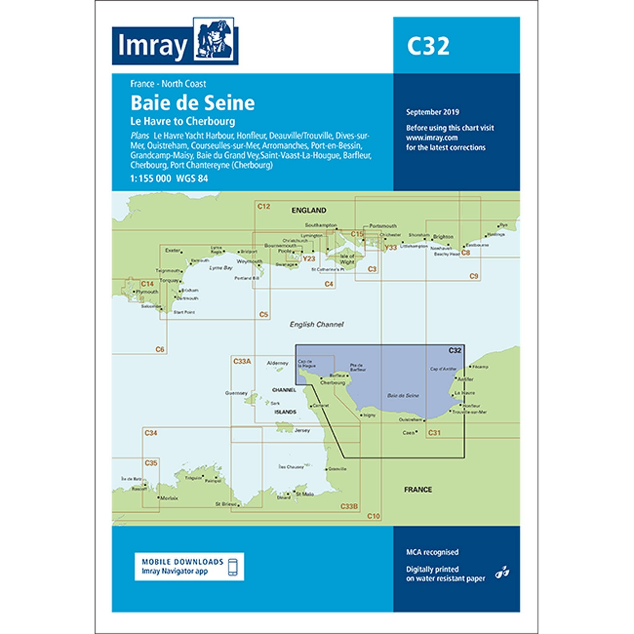
Imray Chart C32 Baie de Seine Scale 1: 155 000 WGS84Imray Chart C32 Baie de Seine Scale 1: 155 000 WGS84
Sale price£22.95 GBP
Imray Chart C32 Baie de Seine Scale 1: 155 000 WGS84
Imray Only 2 units left
Imray Chart C31 Dover Strait to Le Havre Scale 1:200 000 WGS84

Recently viewed