Admiralty Small Craft Folio SC5606 Thames Estuary, Ramsgate to Tower Bridge
Leisure Folio of the Thames Estuary Ramsgate to Tower Bridge Charts 1-15 11th Edition Charts included: 5606.1 - Southern North Sea and Dover St...
View full detailsLeisure Folio of the Thames Estuary Ramsgate to Tower Bridge Charts 1-15 11th Edition Charts included: 5606.1 - Southern North Sea and Dover St...
View full detailsPlan(s) included:Newquay Bay (1:10 000), Saint Ives (1:15 000), St Mary’s Road (1:25 000), Hugh Town (1:10 000), Mousehole (1:5000), Newlyn Harbour...
View full detailsTilbury to North Foreland and OrfordnessPlan(s) included:
Tilbury to North Foreland and Orfordness On this edition the latest depth surveys have been applied. Minor changes to the Sunk TSS are included as...
View full detailsTeddington to Southend in three panelsRichmond Bridge to Vauxhall Bridge (1:13 700)Vauxhall Bridge to Barking Creek (1:16 500)Barking Creek to Sout...
View full detailsA brand new chart for 2018 covering the Thames Estuary South. This chart is a replica of Imray chart 2100.1. It is printed on water resistant paper...
View full detailsIncludes inset of River Thames Sea Reach (1:55 000) Plans included: Whitton Marine (1:6000) Port Werburgh (1:6000) Gillingham Marina (1:10 000)...
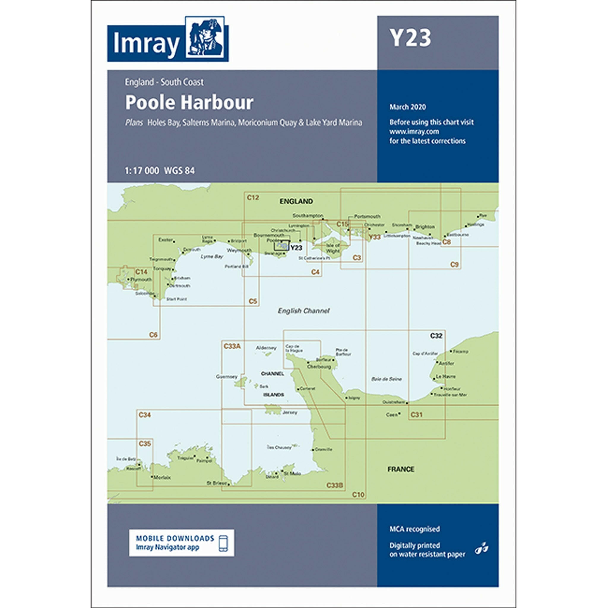
View full detailsPlans included:Holes Bay (1:10,000)Salterns Marina (1:7,500)Moriconium Quay & Lake Yard Marina (1:3,000)For this 2016 edition the chart has ...
View full detailsNV charts for Great Britain are based on official data of the British Hydrographic Office (UKHO). They include numerous harbour plans and details f...
View full detailsCharts included: 5609.1 - Saint George's Channel and Irish Sea, Southern Part 5609.2 - A, Cardigan Bay - Aberystwyth to Barmouth 5609.3 - Saint...
View full details14th edition small craft leisure chart folio covering from Chichester to Ramsgate and Calais to Oostende. Charts included: 5605.1 - Western and No...
View full details"The variety of the subject is amazing. No less than 3,854 knots and splices, hitches and hooks, beckets and toggles, sinnets and so on are describ...
View full detailsLowestoft to River Crouch Imray A pack of 10 charts for the Suffolk and Essex Coasts. The pack includes: 2000.1 Suffolk and Essex Coasts 1: 120 00...
View full detailsPlan(s) included:Bridport Harbour (1:5000), Lyme Regis (1:10 000), Exmouth (1:32 500), Teignmouth Harbour (1:12 500), Torquay Harbour (1:7700), Bri...
View full detailsChart scale 1:75 000Plans included:Portland Harbour (1:20 000)Weymouth Harbour (1:7500)Lulworth Cove (1:4500)Worbarrow Bay (1:15 000)Chapman’s Pool...
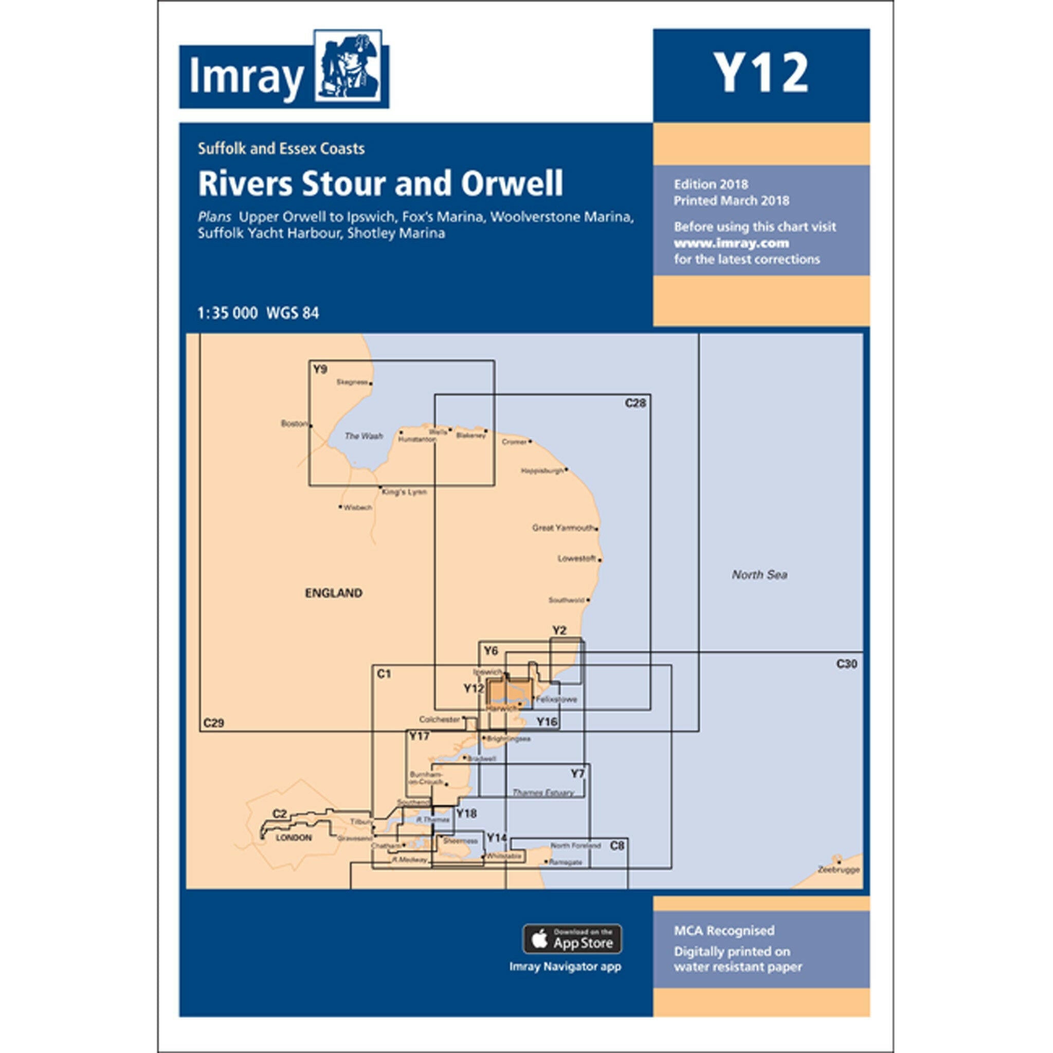
View full detailsPlans included: Upper Orwell to Ipswich (1:20 000) Fox's Marina (1:10 000) Woolverstone Marina (1:10 000) Suffolk Yacht Harbour (1:10 000) Shotley...
View full detailsScale: 1:35,000 WGS 84 Plans included: River Orwell continuation to Ipswich (1:35 000) Fox’s Marina (1:12 500) River Deben continuation above Rams...
View full detailsPlans included: Continuation of River Colne to Colchester (1:35 000) Brightlingsea (1:15 000) Tollesbury Marina (1:12 500) Bradwell Marina (1:1...
View full detailsPlans: Falmouth Yacht Marina Falmouth Inner Harbour Mylor Yacht Harbour
For this 2018 edition the chart has been fully updated throughout with revised depths and the latest wind farm developments. Printed and corrected ...
View full detailsPlans included: Boston (1:10 000) King’s Lynn (1:15 000) Brancaster Harbour and Overy Staithe (1:35 000) Wells-next-the-Sea (1:30 000) Blakeney...
View full detailsPlans included:Southsea Marina (1:15 000)Northney Marina (1:12 500)Emsworth Yacht Harbour (1:12 500)Birdham Pool and Chichester Marina (1:12 500)
The whole of the Isle of man. Scale 1:85,150. Larger scale plans of Douglas, Calf Sound, Port Erin, Peel, Ramsey, Bay Ny Carrickey & Castletown...
View full details